The Study will involve analyzing and selecting preferred alternatives for road, bicycle/pedestrian, and safety improvements. The recommendations identified by the Study will increase safety for vehicles, bicyclists and pedestrians and will link one of the Town’s primary commercial districts to adjacent residential neighborhoods.
As a state highway and major arterial, Black Rock Turnpike serves a large business and commercial district with outlying residential neighborhoods intersecting the corridor. The study area consists of the commercial district starting at the intersection of Route 58 (Tunxis Hill Cut Off) and Knapps Highway, continues north onto Black Rock Turnpike and ends at the intersection with Tahmore Drive. Much of the road cross-section in this area consists of four lanes; with approximately 20,000 vehicles traveling per day. The road widths, excessive speeds, high traffic volume and numerous curb cuts create an unsafe and uninviting pedestrian environment throughout the corridor.
In addition to the lack of bicycle and pedestrian safety, vehicular safety in the study area is deficient. The high concentration of vehicular accidents indicates the need for improvements to traffic circulation and the mitigation of congestion throughout the corridor.
The LoTCIP Program, established under Connecticut Public Act 13-239 provides municipalities a funding source for performing capital improvements with less burdensome requirements than available federal funding sources. The program is overseen by MetroCOG, the Regional/Metropolitan Planning Organization (R/MPO) and Council of Governments for the six-town Greater Bridgeport Region.
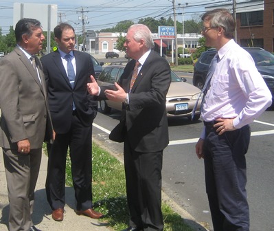
The photo shows from left to right: Mike Pavia, MetroCOG's Deputy Director, Patrick Carleton, MetroCog's Regional Planner, First Selectman Mike Tetreau and Community and Economic Development Director Mark Barnhart standing along Black Rock Turnpike.