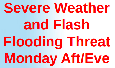
A frontal system over the Great Lakes and Ohio Valley states will approach late today and cross the Tri-State tonight.There are likely to be several rounds of showers and thunderstorms ahead of the cold front starting mid-late this afternoon and continuing through the first half of the night.Threat for Severe Thunderstorms and Flash Flooding Timing: This afternoon and evening Location: Lower Hudson Valley, Northeastern New Jersey, Southwestern Connecticut, NYC Metro, and Western Long Island Severe thunderstorms producing winds gusts of 60+ mph, and possibly 1+” hail. There is also a very low chance for isolated weak tornados. Locally 2-3+” of rain, posing a risk for flash flooding of urban areas, several roadways, and small streamsClick here for more information from the National Weather Service.
R