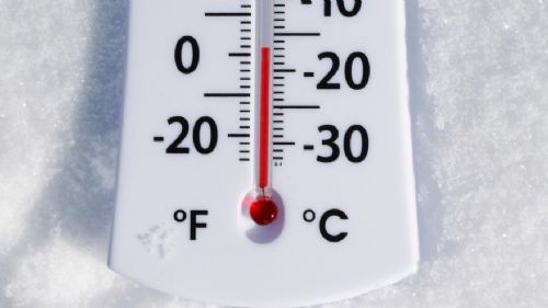
Dangerous Cold This Morning:
Dangerously cold wind chills of 15 to 30 degrees below zero this morning will gradually moderate through the day; rising above zero late today into early this evening as winds diminish. Air temps tonight will fall into the single digits below zero across much of the Lower Hudson Valley, Southern Connecticut, and Pine Barrens of Eastern Long Island.
Strong Storm System Monday through Tuesday:
Developing low pressure across the deep south will move up the coastal plain Monday Night into Tuesday. This system will likely develop snow across the area by Monday afternoon, transitioning to a wintry mix and then rain Monday Night into early Tuesday Morning.
At this time a few inches of snow accumulation are possible through Monday Evening; highest probability across the interior. Deteriorating road conditions are likely for the Monday Evening commute. The main concern though is the potential for freezing rain late Monday Evening into Monday Night. For the NYC metro and Long Island any wintry mix would be brief, but across interior portions of Northeastern New Jersey, the Lower Hudson Valley, and Southwestern Connecticut several hours of freezing rain are possible. An expected slow thaw of frozen ground could result in dangerous icing of untreated road surfaces and walkways Monday Night, all the way down to the NYC/NJ metro and coast. Air temperatures should warm enough to alleviate icing issues for the city and coast late Monday Night, but could linger into the Tuesday Morning commute across the Interior.
Minor coastal flooding impacts are also possible during the Monday Night and Tuesday Afternoon high tide cycles.
There is still model spread with the track and timing of this system, which will affect precipitation amounts and changeover timing. So monitor your latest NWS forecasts.
More information on Potential Snow and Ice Accumulations can be found on our Winter Weather Page can be found here.
More in depth information on Weather Hazards can be found in NOAA Forecast Discussion:
here