There is a chance for multiple rounds of heavy rain and thunderstorms from Saturday night, July 22nd, through the day Monday, July 24th.
Waves of low pressure are forecast to move east along a nearly stationary front draped across the area from Saturday night through Monday.
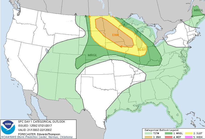
The Storm Prediction Center has placed the local area under a Slight Risk for Severe Thunderstorms during this time, mainly for wind gusts of at least 58 mph.
Sunday Outlook: http://www.spc.noaa.gov/products/outlook/day2otlk.html
Monday Outlook: http://www.spc.noaa.gov/products/outlook/day3otlk.html
Showers and thunderstorms might produce hourly rainfall rates of at least 1 inch, causing flooding of low lying poor drainage areas. If heavy showers and thunderstorms move across the same area, then flash flooding is possible. Widespread amounts of 1 to 2 inches are forecast during this time with isolated higher amounts.
Check our Enhanced Hazardous Weather Outlook at: http://www.weather.gov/okx/ehwo
Stay Tuned to our latest forecasts: http://www.weather.gov/okx