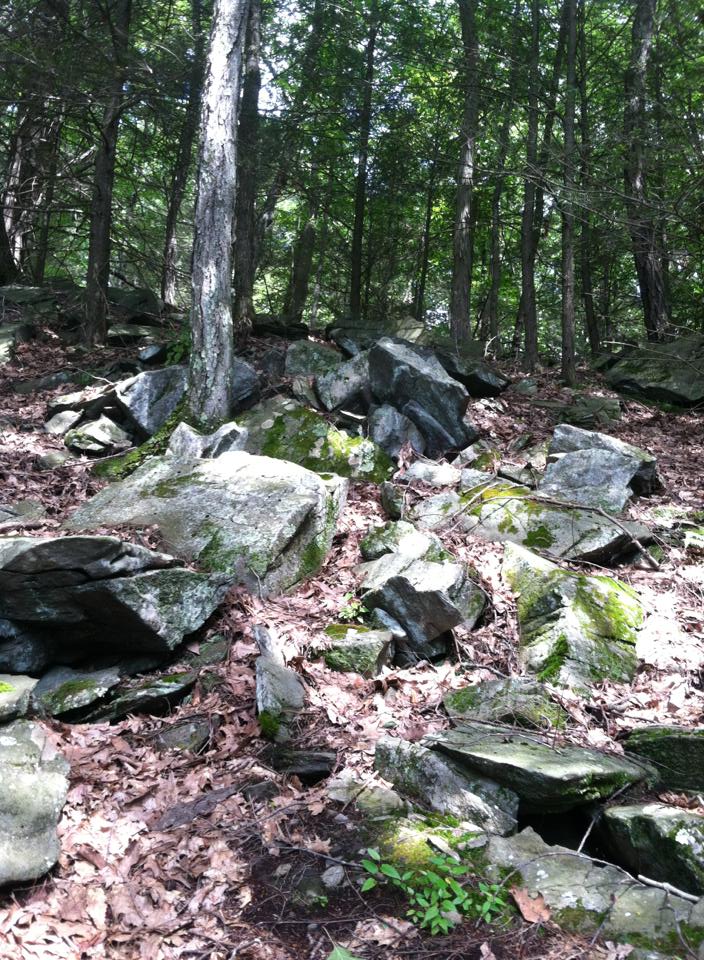
The Sunny Valley Preserve trail system in Bridgewater is perfect for anyone who is looking for some fun local hiking, and there are a number of trails that you can take to walk around the nature preserve. My brother and I started on the Yellow trail at the trail head off of Benson Road, which we had originally missed when we drove by (the sign was hard to see). Once we parked we started our hike, we had no map but did not care, and the trail was nice, easy and well maintained – no worries about any plants such as poison ivy unless you wander off of the trail.
The Yellow trail does not have much elevation change and has some nice views of the preserve. If you are looking for an easy hike, then stick to this trail as it is a short loop.
Our minds had changed about the ease of the hike when we hit an intersection on the trail that allowed us to take the white trail to either the left or the right. After about a minute of discussion we decided to go left and see where it would take us. The white trail was not too difficult either but had more to offer than the Yellow trail, so we kept following the white blazings until we came across a strange intersection of the white and blue trails and decided to take the blue trail. We then hooked up with the red trail, which prior research told me would bring us to Lake Lillinonah, and it did! We could hear the sounds of boaters getting closer and closer until we were right on the edge of the lake. The view was pretty and there was a little outlook on the trail before it turned back into the woods.
The climb up the Red Trail was a little steep but not unmanageable, however it is an unavoidable climb because you go down a hill about the same steepness to get to the lake. Upon arrival at the lake, you'll know the extra work was worth it.
----------------------------------------------------------------------------
We spent about 3 hours hiking and hiked about 4 to 5 miles.
The white trails are connector trails, so no need to fear if you don't see much while hiking them, trust me it is worth it when you hook up to the Red Trail and see the lake as it is very pretty and well worth it. I would highly suggest this trail system to anyone, it is fun, easy and offers a lot of different views of the preserve and Bridgewater.
The information I had gathered for the hike so I had an idea of where the trails would take me are from this site: http://www.ctmuseumquest.com/?page_id=7447