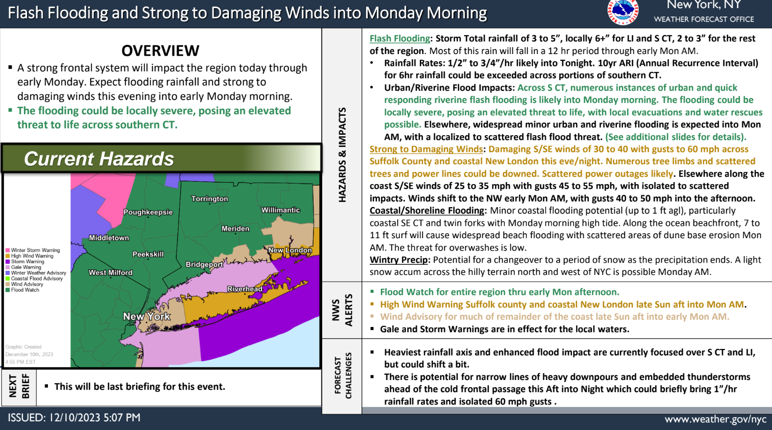


* Locally severe flooding potential for portions of southern CT through Monday morning. This poses an elevated threat to life, with local evacuations and water rescues possible. Excessive rainfall risk has been elevated to moderate for this area. Forecast rainfall amounts have increased slightly across LI and S CT.
A strong frontal system will impact the region this afternoon through Monday morning. Expect a period of heavy rainfall and strong to damaging winds late today into early Monday morning. Minor coastal/shoreline flood impacts are possible with the Monday morning high tidal cycle as well.
* Upgrade to High Wind Warning for Suffolk County. Wind advisory for much of the coast.
* Upgrade to Storm Warning for the ocean waters east of Fire Island, southern and eastern bays of LI, and far eastern LI Sound. Gales elsewhere.
Learn more here and view the images in this post.