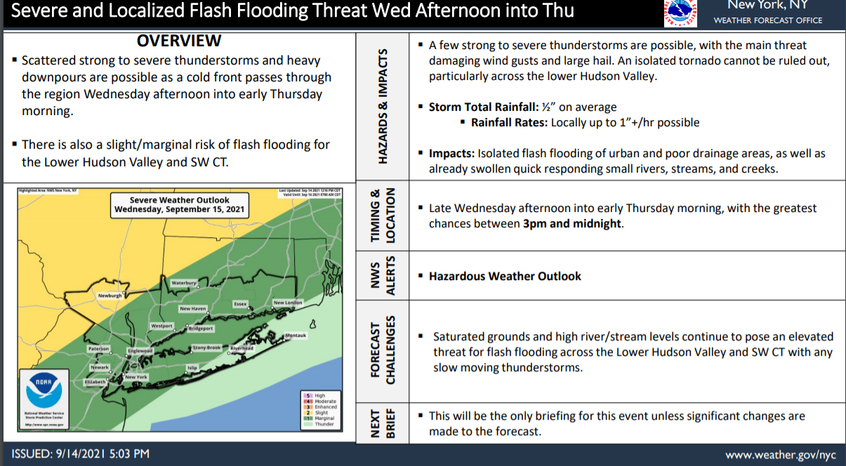
Scattered strong to severe thunderstorms and localized heavy rainfall are possible as a cold front passes through the region late Wednesday into early Thursday.
There is a slight to marginal risk of flash flooding for the Lower Hudson Valley and SW Connecticut. There is also a slight to marginal risk of severe thunderstorms across much of the area.
Overview:
A few strong to severe thunderstorms are possible, with the main threat damaging wind gusts and large hail. An isolated tornado cannot be ruled out, particularly across the lower Hudson Valley.
Storm Total Rainfall: ½” on average
Rainfall Rates: Locally up to 1”+/hr possible
TIMING & LOCATION
Late Wednesday afternoon into early Thursday morning, with the greatest chances between 3pm and midnight.
NWS ALERTS
Hazardous Weather Outlook
Stay alert, by monitoring NWS New York, NY forecasts